
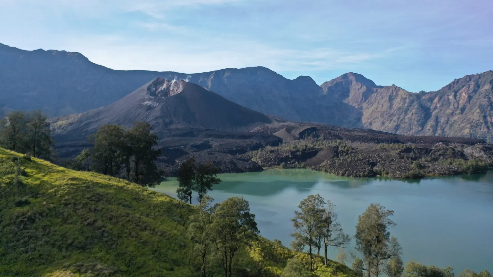
DASHBOARD RINJANI
What is happening on the mountain
News, warnings, and the next useful step. Counts below are the published map catalogue, not a new official statistic.
- Places
- 53
- Geological
- 26
- Natural
- 9
- Cultural
- 18
In the MIDAS Map database.
Geological sites.
Forest, park, water.
Village and heritage.
Map catalogue
Streets, satellite, topography, and every layer you choose to stack.
Publish a dataset
Points become a map with their own pin. A label and a number become a chart.
Volcano status
This desk is not the warning. Confirm Gunung Rinjani on MAGMA.
WHO IS READING
Report something
Damage, misconduct, or a service that failed.
Schools and courses
What is already taught near the mountain.
The figures
Map locations, and the province’s own tables.
Warnings
Check
Volcano status
Do not treat this desk as the warning. Confirm Gunung Rinjani on MAGMA Indonesia before you walk.
Open MAGMA IndonesiaWatch
Streams after rain
Aik Berik and the Senaru falls rise quickly. If the water is brown, the Geosafe layers mark the crossings to leave.
News
2 Oct 2026
Digital Service moves to /services
The public list of digital products now lives at rinjanilombok.org/services. The old /layanan address forwards there.
28 Sep 2026
Lontar archive stays open
Leaf-by-leaf photography continues. The public reader remains at lontar.rinjanilombok.org.
12 Sep 2026
Map catalogue loaded
OneMap now carries the published MIDAS Map locations — geological, natural and cultural — plus the geopark boundary file. Trail lines and the Geosafe pilot stay as layers.
Calendar
A sample desk, not the published programme.
Village clean at Senaru post
Residents and park staff
18 Oct
Interpreter assessment walk
Academy
2 Nov
Homestay hosting clinic, Sembalun
Businesses
15 Nov
Youth field-school briefing
Schools
6 Dec